https://creativecommons.org/publicdomain/zero/1.0/https://www.rawpixel.com/image/8907240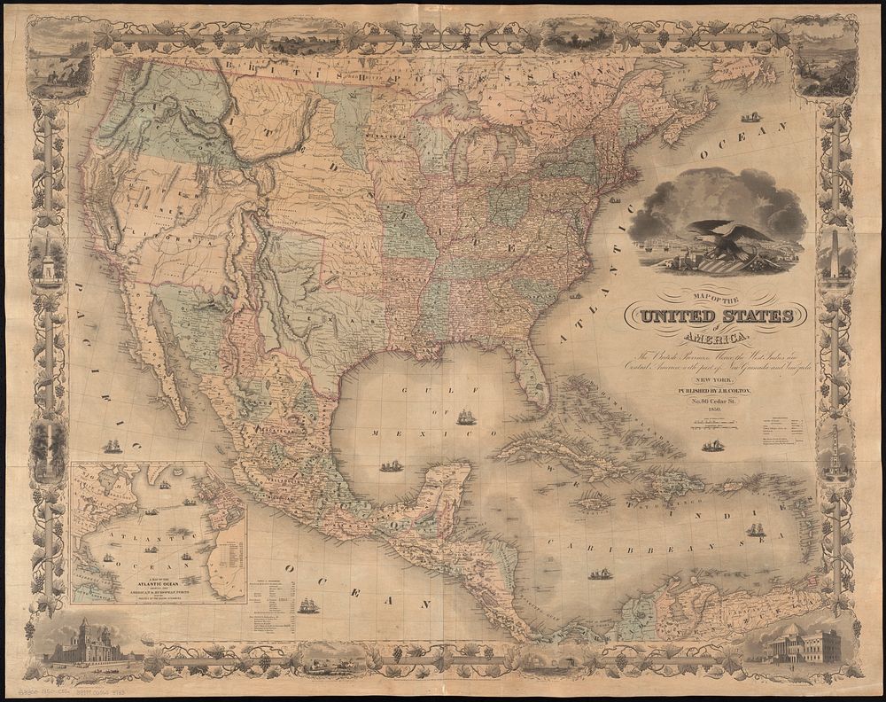
Map of the United States of America, the British provinces, Mexico, the West Indies and Central America, with part of New Granada and Venezuela
Original public domain image from Digital Commonwealth
Public DomainFree CC0 image for Personal and Business use