https://creativecommons.org/publicdomain/zero/1.0/https://www.rawpixel.com/image/8905493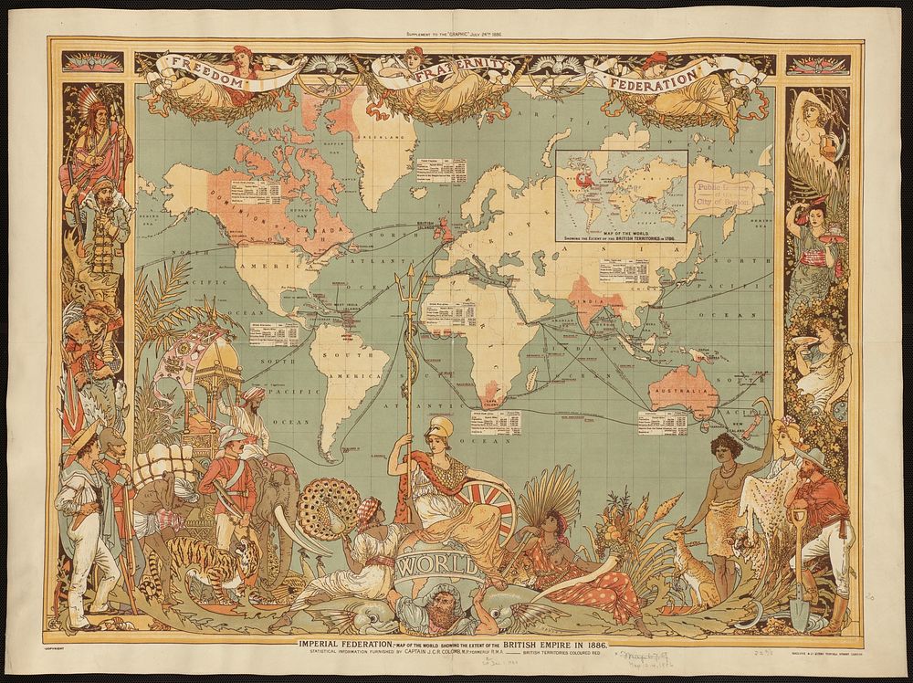
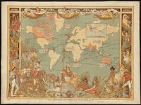
Imperial Federation, map of the world showing the extent of the British Empire in 1886
Imperial Federation, map of the world showing the extent of the British Empire in 1886
Original public domain image from Digital Commonwealth
Public DomainFree CC0 image for Personal and Business use