https://creativecommons.org/publicdomain/zero/1.0/https://www.rawpixel.com/image/8803275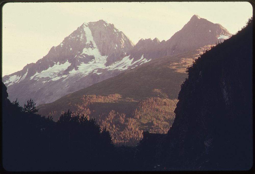
A Sunset View South through the South Portal of Keystone Canyon to Jpeak 5079.
A Sunset View South through the South Portal of Keystone Canyon to Jpeak 5079.
The Richardson Highway Is Visible at Lower Right. After Paralleling the Canyon Along a Bench on Its East (Left) Side, the Pipeline Will Descent to the Level of the Lowe River and Run West Toward Valdez Along the Lower Sunlit Slopes in the Middle Distance of the Picture. Mile 768-772, Alaska Pipeline Route 08/1974. Photographer: Cowals, Dennis. Original public domain image from Flickr
Public DomainFree CC0 image for Personal and Business use