The Wall Canyon Wilderness Study Area (WSA) is located within Washoe County, in northwest Nevada.
The Wall Canyon Wilderness Study Area (WSA) is located within Washoe County, in northwest Nevada.
The WSA includes 46,305 acres of BLM lands and surrounds 1,220 acres of private inholdings. Cedarville, California is 25 miles northwest, Susanville, California is 70 miles southwest and Reno, Nevada is 120 miles south.
The eastern boundary is formed by the Wall Canyon and Pinto Springs Roads and private lands. The northern boundary is formed by private lands and the western boundary is formed by a combination of private lands, the Devine Spring Road and the Packsaddle Spring Road. All of the boundary roads are narrow, infrequently maintained dirt and gravel roads.
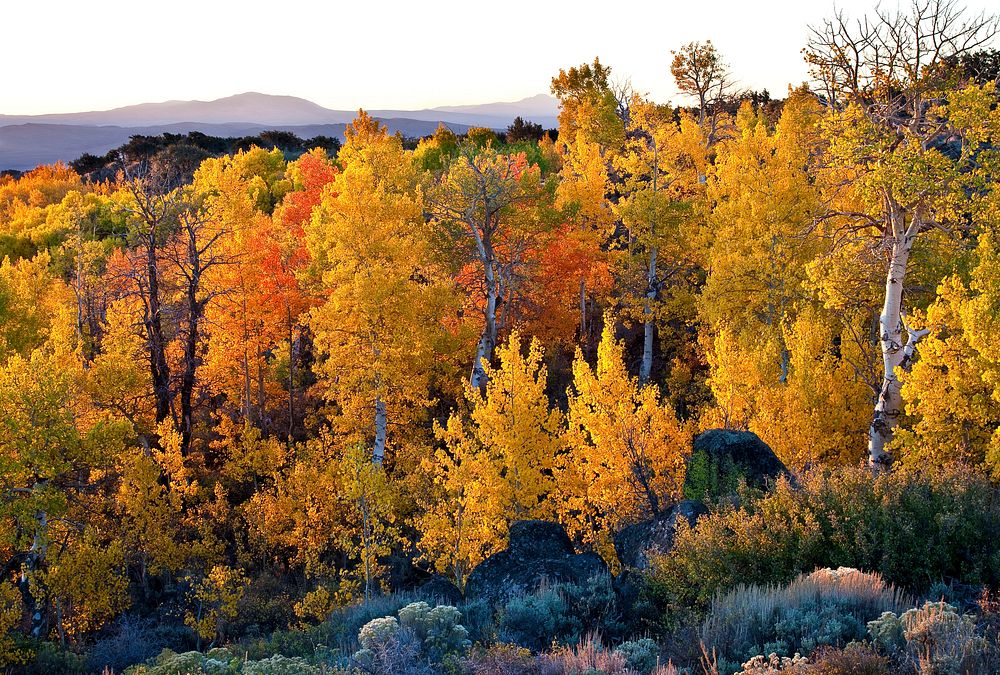
The WSA includes approximately 15 percent of the Hays Canyon mountain range. It encompasses portions of the top of the range and the eastern slopes. The topography and vegetation are typical of mid-elevation Great Basin mountainous areas with abundant canyons, buttes, rims as well as upland benches and wide valley floors all dominated by sagebrush communities. Elevations range from 5300 to 7340 feet.
Original public domain image from Flickr