https://creativecommons.org/publicdomain/zero/1.0/https://www.rawpixel.com/image/2041627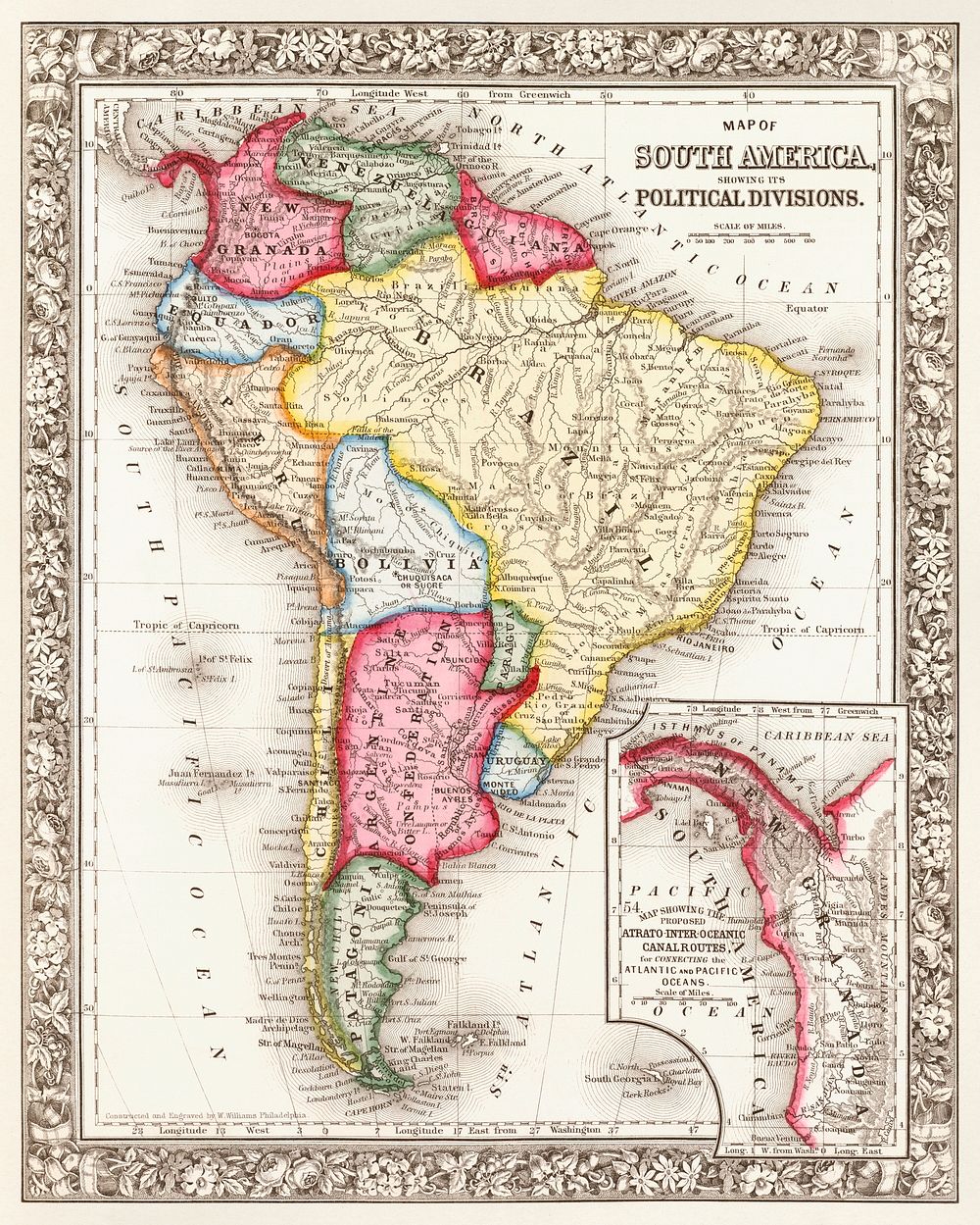
Map of South America, showing its political divisions; Map showing the proposed Atrato-inter-oceanic canalroutes, for connecting the Atlantic and Pacific oceans (1863) by Samuel Augustus Mitchell. Original From The New York Public Library. Digitally enhanced by rawpixel.
Public DomainFree CC0 image for Personal and Business use