https://creativecommons.org/publicdomain/zero/1.0/https://www.rawpixel.com/image/2041108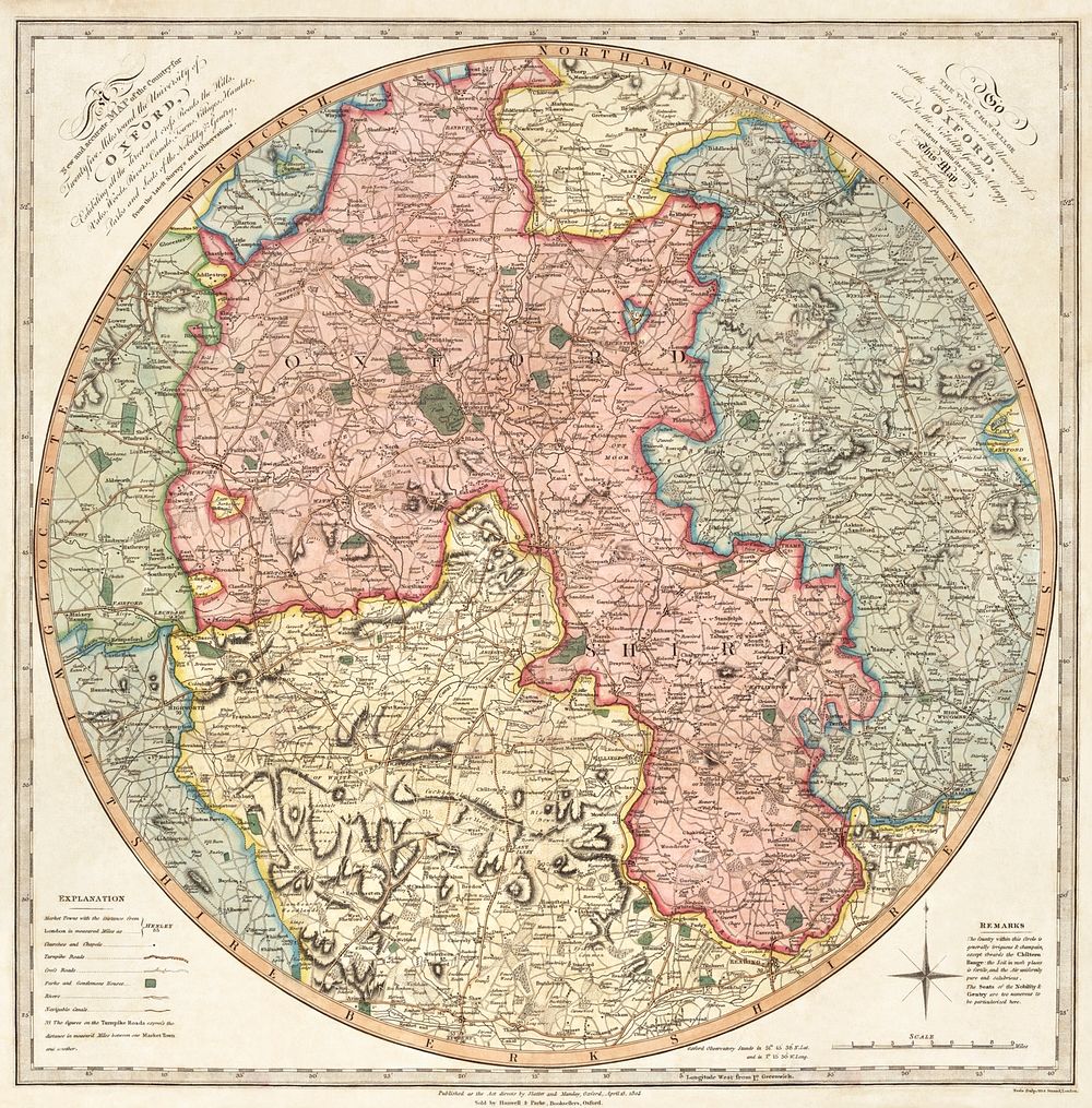
A new and accurate map of the country for twenty five miles round the University of Oxford: exhibiting all the direct and cross roads, the hills, vales, woods, rivers, canals, towns, villages, hamlets, parks, and seats of the nobility & gentry: from the latest surveys and observations (1805) by G. Pawley and Samuel John Neele. Original from Library of Congress. Digitally enhanced by rawpixel.
Public DomainFree CC0 image for Personal and Business use