https://creativecommons.org/publicdomain/zero/1.0/https://www.rawpixel.com/image/13789698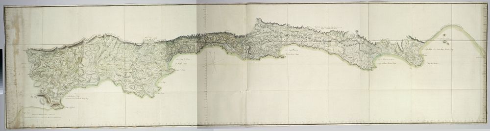
Map of the south coast of South Africa between Cape Agulhas and the Sundays River (after 1789 - 1790) by Robert Jacob Gordon and J C Friderici
Original public domain image from The Rijksmuseum
Public DomainFree CC0 image for Personal and Business use