https://www.usa.gov/copyrighted-government-workshttps://www.rawpixel.com/image/11071327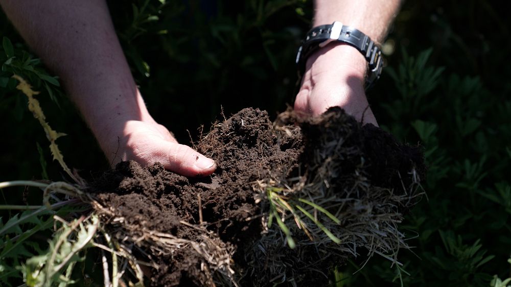
Soil in a historical saline seep area. The uplands and saline seep have been planted to vegetation that uses excess moisture from the soil surface for an extended time so that the saline seep is no longer visible as a bare area with white crusting. In this case, the seep area is productive again and the field is hayed. The Montana Salinity Control Association, NRCS, and local landowners have been partnering for decades to reduce the occurrence of saline seeps acros the landscape. Saline seeps can be exacerbated by farming practices that do not maximize a living root in the soil to utilize excess moisture that can collect salts that move to the soil surface when water evaporates, causing non-productive areas in fields. Dane Valley, Roosevelt County, MT. June 2022.
Soil in a historical saline seep area. The uplands and saline seep have been planted to vegetation that uses excess moisture from the soil surface for an extended time so that the saline seep is no longer visible as a bare area with white crusting. In this case, the seep area is productive again and the field is hayed. The Montana Salinity Control Association, NRCS, and local landowners have been partnering for decades to reduce the occurrence of saline seeps acros the landscape. Saline seeps can be exacerbated by farming practices that do not maximize a living root in the soil to utilize excess moisture that can collect salts that move to the soil surface when water evaporates, causing non-productive areas in fields. Dane Valley, Roosevelt County, MT. June 2022.
Original public domain image from Flickr
Public DomainFree CCO U.S. Government image for Personal and Business use